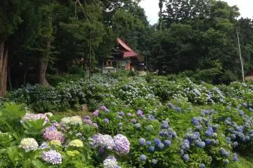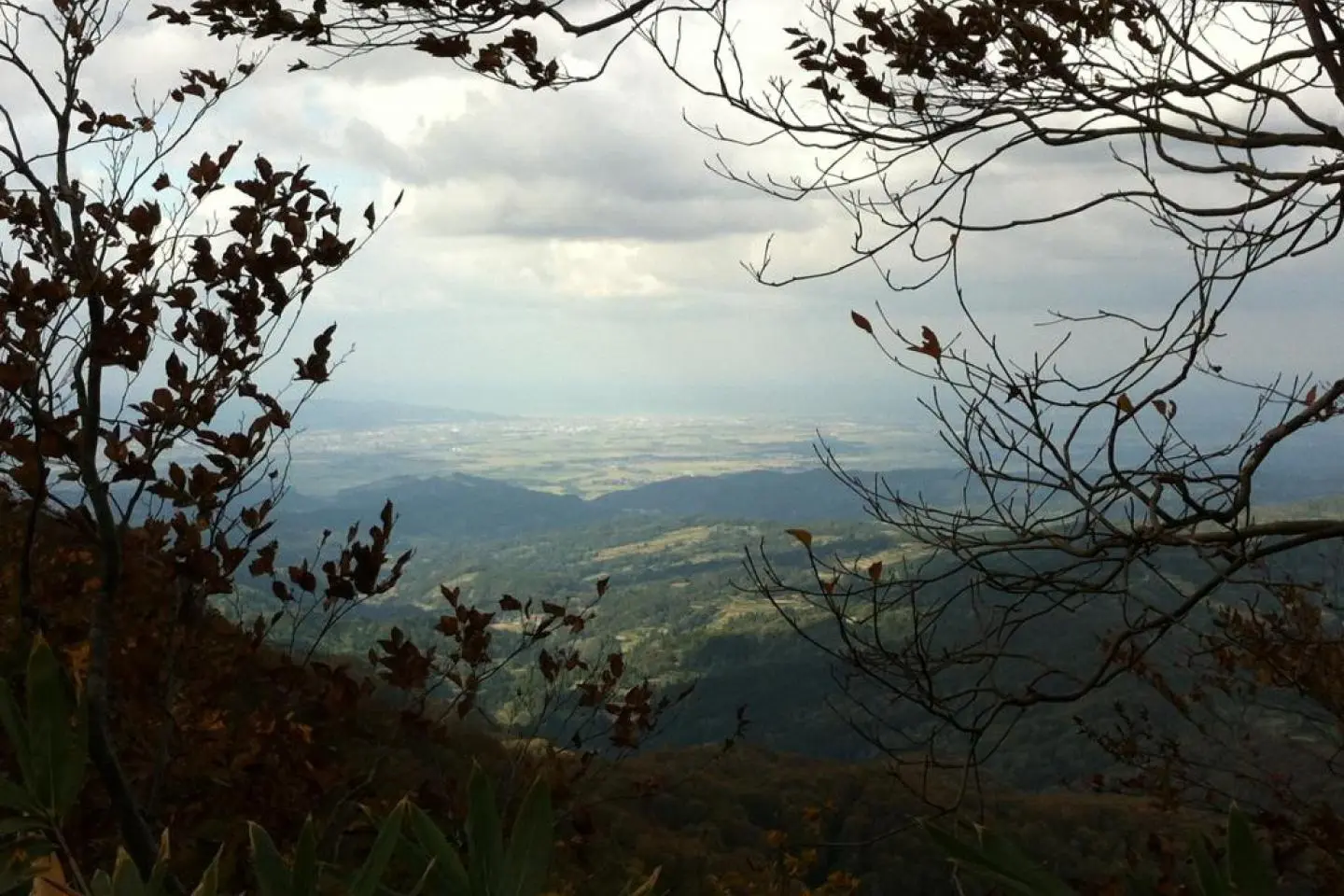
Our last day gave us weather just made for hiking. It was cool (thankfully, given that we were carrying our full packs again) but blue-sky sunny, with nary a cloud to be seen. There were a few more hikers that day, enjoying the perfect weather. After a few days and a few dozen kilometres our legs were in good shape, the cool air made the climbs seem easier, and the sunshine streaming through the trees was straight out of a Ghibli movie. We made excellent time, and I even had the luxury of a post-riceball nap in the glorious sunshine. In the distance we could see perma-snowcapped peaks to the north-east of us, and the Joetsu plain and Chikuma valley to either side.
Part of that day’s hike was a short, 40-minute section between Nonomi Gap and Misaka Gap, easily accessible by road at each end, which would make an ideal brief excursion for families with children, or for less active tourists. It’s a very pretty section, and although it has a few steep scrambles, is an easy walk. There’s an idyllic clearing at Nonomi gap with stunning long-distance views, too.
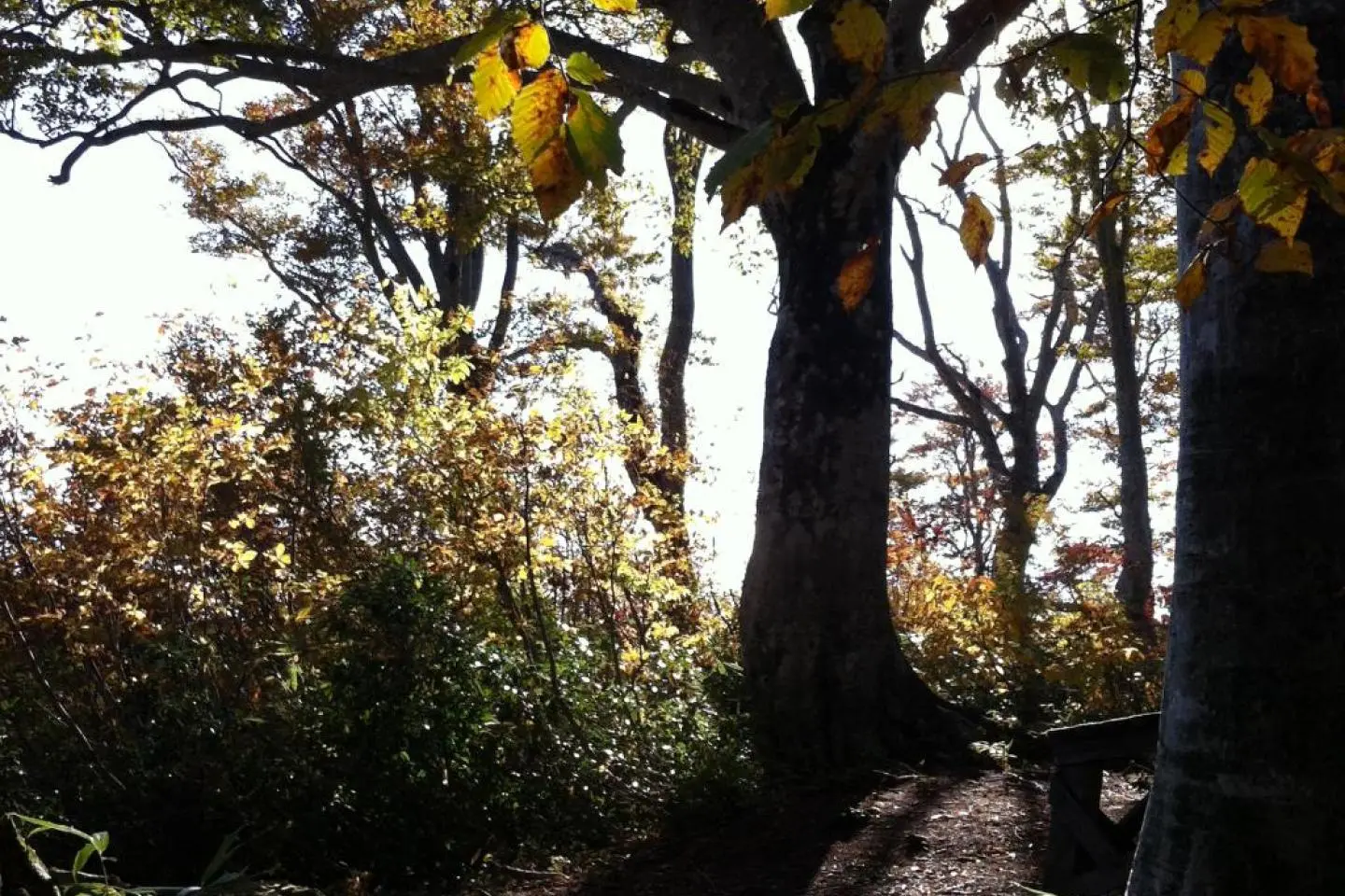
And before we knew it, we were at the end of the trail! A clearing, like that at Mt. Madarao, marks the end of the trail proper at Mt. Amamizu. Unlike Mt. Madarao we had the trail to ourselves to celebrate (by finishing off our stash of muesli bars!). However, the trail down to the accessible trail head is long. Deceptively, it has a couple of aggressive climbs before it finally takes you off the mountain, leading through Tolkienesque forests, to a lumberjack fire trail that winds down the mountain, down and down, the vegetation changing with the altitude, to the metalled road where our host from Nozawa Onsen had driven over to collect us.
The trail is managed by the Shinetsu Trail Club, whose voluminous website not only has a summary English section, but whose volunteers were also incredibly helpful in planning the trip, answering endless emails patiently and in detail (in both English and Japanese). The trail is well maintained, with good signage and regular blazes. All in all, it was very easy to plan this from overseas.
The Trail Club can recommend (and, if you ask nicely, help with booking if your Japanese isn’t up to it) accommodation along the way, and their accommodation partners will drive you to and from trailheads, provide a packed lunch (riceballs or riceballs, generally including riceballs, with riceballs for variety….), and help with weather and other advice. Hiking is a very popular sport in Japan and there’s exponentially more information out there on local sites and blogs than you’ll ever find in English, so local advice becomes doubly invaluable.
You can also order the set of 1:25,000 trail maps direct from the Trail Club, and I highly recommend you do that. They’re excellent maps, up to date, and as always the more you familiarise yourself with the route in advance the more you’ll enjoy it.
It’s a 70-80km hike, and you could take anything from a day (on a long midsummer’s day, assuming you’re a fit Ghurka with a headlamp!) to a leisurely six days. The Trail Club doesn’t recommend the trail for running, tho’ there are some sections where it was very tempting.
We took five days which felt about right. There’s no mountaineering involved, although there are frequent scrambles, and a lot of short but steep sections, typical of Japanese ridge hiking. If you’re a full-time desk-jockey whose hobby is TV-watching you’ll struggle, but if you’re even just a weekend warrior with moderate fitness you’ll manage the strenuous sections with satisfaction. And if you begin to feel like you’re really the king of the mountain, wait for the inevitable group of retirees to beetle past you and put you in your place!
As always, respect the hills. Although the highest point is only 1,300m or so, and most of the time you’re rolling around 1,000m, what is an unmistakable and well-marked trail in good weather can quickly become a frightening puzzle as you shiver in rain and mist. Walking through forest there are endless tree roots to turn an ankle, and steep drops off narrow ridge paths that could break a bone even if the brush catches your fall. Cell reception is minimal and unpredictable (although there’s a map of cell reception, in Japanese but you’ll work it out, on the Shinetsu website – and global roaming is more helpful than a local SIM card as you can pick whichever provider has the best signal). Although there are plenty of access points you’re three hours or more from regular habitation on many sections of the trail. So even if you’re doing only part of a section as a day hike, with a perfect weather forecast, bring extra layers, rain gear, space blankets, carbs, and first aid kit. Obviously good boots are a must as are a map and compass. And let someone know your intended route and arrival time.
Then turn off your phone, and enjoy!