The summit of Mt. Ryūō is difficult to reach, but well worth the hike. It is often billed as a Health Trail, and after the long hike up the mountain and back down again one will definitely feel the health benefits!
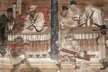
The mountain is probably most famous as a site for a castle built as a mountain bastion by Tōichi Tōtada during the warring period. Shorty after the castle was built, however, it was attacked by the feudal lord Matsunaga Hisahide and overthrown. Currently there is almost nothing to be seen of the castle. However, the mountain has much more to offer in the form of burial mounds and beautiful views. The castle’s southern ruins are the highest point and are the goal for which hikers generally aim.
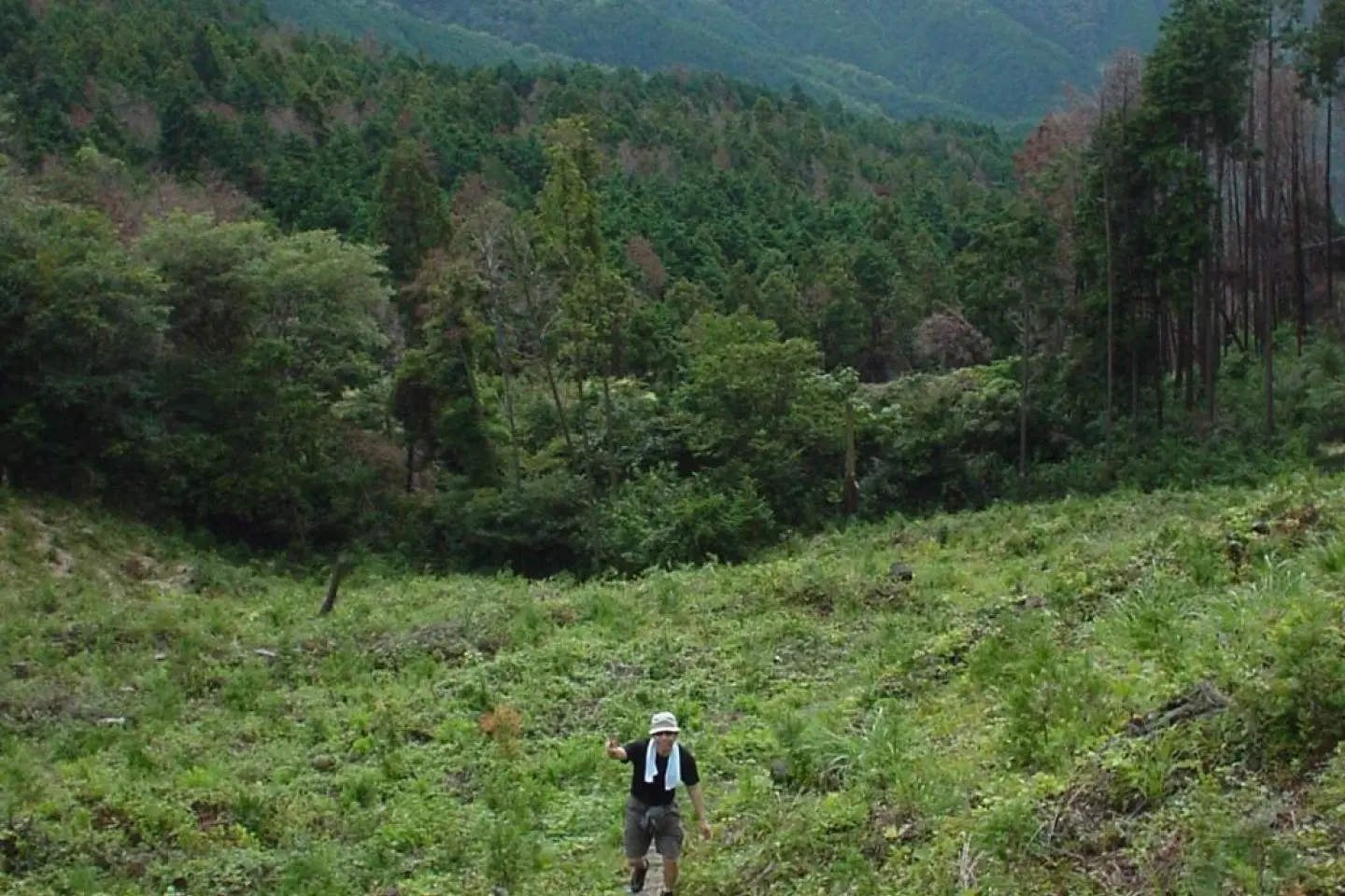
There are actually three courses by which to ascend Mt. Ryūō. The first two are hiking trails; one from Emperor Suijin’s kofun, and the second, which starts out next to Chōgakuji Temple. The third approach is a paved road that winds around behind Tenri Dam and can be traveled by motorized vehicles. Which ever path one takes, the view from the top is spectacular. If one is interested in a bit of history, then the two hiking paths are recommended. I have taken the path that ascends from the east of Emperor Suijin’s burial mound and found it to be the least steep path for ascending the mountain. Leaving from there, the path takes a long slow gradual climb up the mountain side that can take anywhere from 90 minutes to two hours.
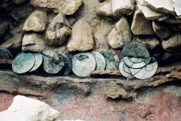
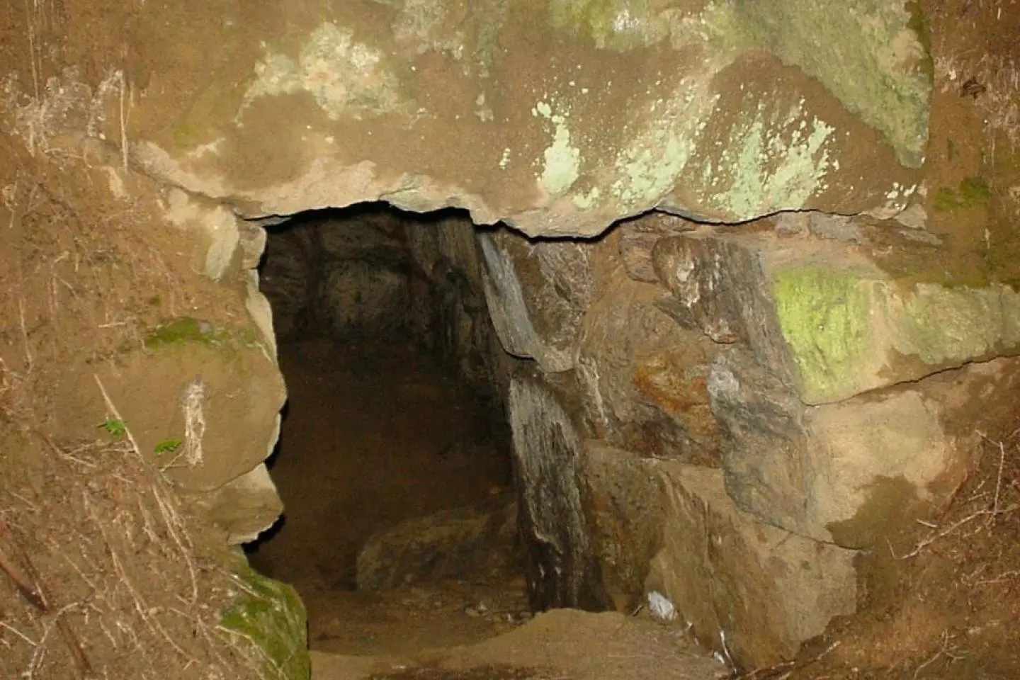
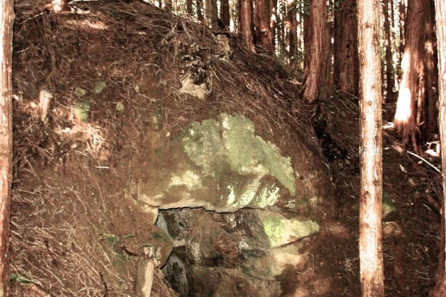
Along the way, one of the sights that is easy to miss unless one is forewarned is the Ryūōzan kofun gun (Mt. Ryūō burial mound collection). I walked up this mountainside trail at least 10 times before I discovered that it is lined with about more than 600 small burial mounds, some of which are open. The mounds line both sides of the path, but it is necessary to get off the main path and swing around to the back of the mounds to discover their entrances. They are all yokoana shiki (side-entrance styles) and there is quite an impressive number, especially considering the effort that went into building them.
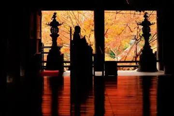
Continuing up the mountain, when you reach the paved road just below the top of the mountain, you'll see there a small shrine with the dual name of Yanagimoto Ryūō-sha and Fujii Ryūō-sha, dedicated to the rain deity. Until recent years, in periods of drought, villagers used to hike up to this point to petition the rain deity Ryūō for water for the crops.
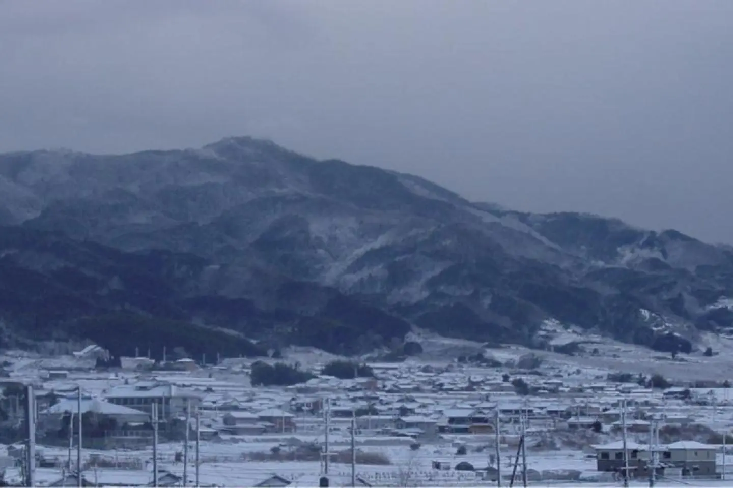
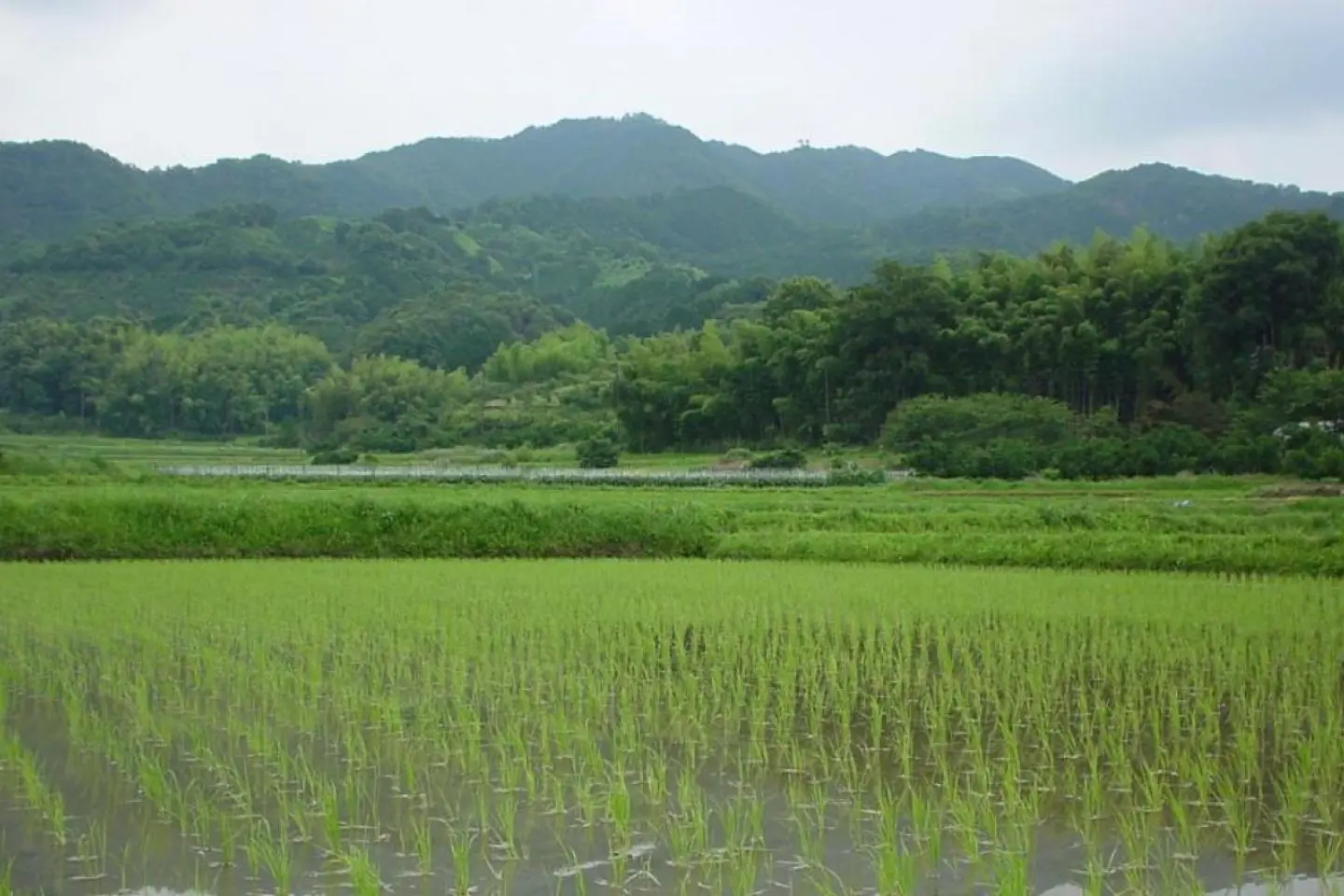
Once at the top, 618 meters (2,027 feet) up, one is rewarded with incredibly beautiful views of the Nara basin, stretching from the Aogaki mountain range on the east side of the basin to Mt. Ikoma on the west side. On occasion, I have even seen the reflection of lights from Osaka on the far side of Mt. Ikoma.
For the return trip down the mountain it is recommended to take the alternative trail that leads to Chōgaku-ji Temple. It's a more direct, albeit steeper, trail that separates off at the paved road below the summit. It offers a different vista of the Nara basin as one descends. You should allow for a two-hour climb up the mountain in order to explore the many burial mounds, time to rest at the top, and at least an hour to descend. Be prepared for a bit of health with your history lesson!