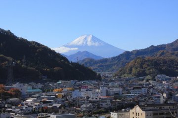
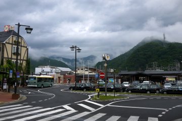
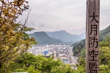
For most tourists, the quiet and rural feeling in Otsuki City in eastern Yamanashi Prefecture will most probably represent your final transfer point for the ever popular Lake Kawaguchi bound Fujikyu Express Line. Boasting five pretty lakes overlooked by the majestic peak of Mount Fuji this area is famous for its natural beauty, crisp air and rather unfortunately, over commercialism and mass tourism. In stark contrast to this, nearby Otsuki City boasts a wealth of interesting attractions including many great hiking courses all within easy access to public transport.
Situated on the JR Chuo Line, about 40 minutes west of Takao, Otsuki City sits in a peaceful valley at the foot of a vast mountain range that runs all the way up north to Naganao Prefecture, encompassing the 8 peaks of the Yatsuga-take Mountain range along with most of the Chichibu-tama-kai National Park.
The course
Amongst a vast array of hiking options on offer is the Mount Takagawa Hiking Course. This 3 hour hike traverses up to the peak of Mount Takagawa offering some fine views of the surrounding valleys then continuing along a forest covered ridgeline before ending at Otsuki Station.
The hike
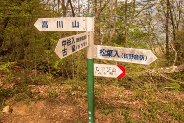
As you get off the train at the rural Hatsukari Station, leave by the only exit and walk out into the parking lot where you’ll see a small series of signs with bright red arrows. From here follow the signs for Mount Takagawa, (高川山) turning right then walking down a slope where you will enter a tunnel which runs under the train tracks. Once on the other side of this tunnel turn left, then walk up the slope and follow the road which crosses a small river until you reach a small Y-junction. At this point there should be a sign on the left pointing towards the trailhead.
Towards Mount Takagawa
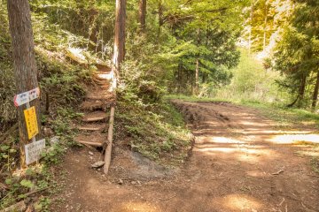
Continue walking along this road which will lead into a forest and gradually form into an unpaved mud track. After about 30 minutes, a small staircase running up the side of a steep hill will appear on your left with a sign marking the trailhead.
Within a few minutes you will find yourself ascending along a steep ridgeline covered in a thick forest canopy where the course is marked by a series of bright orange plastic fences. After about 20 minutes you will reach another Y junction featuring a non-politically correct ‘male’ and ‘female’ path. Both of these lead to the top with the former trail being the steeper but quicker of the two. Deciding on the ‘male’ path, I made the steep 30 minute ascent to the summit.
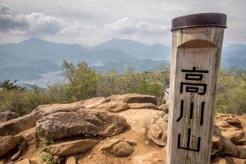
Standing at 976 meters, Mount Takagawa boasts some impressive panoramic views of the surrounding valleys and city below along with some other nearby mountain ranges. Unfortunately however, despite the sunny weather a strong haze prevented any legendary views of Mount Fuji.
Heading westwards
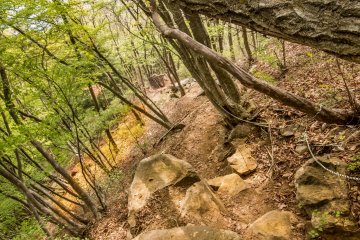
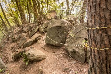
To continue on from this point walk towards the back of the summit and follow the signs westwards for Musubi-Yama, (むすび山) where the trail will now traverse along the top of a narrow forrest covered ridgeline. This part of the course will involve navigating over rocky terrain and passing several boulders along the way. On a good note however, this section of the hike should provide many glimpses of colorful flowers and the picturesque landscape below.
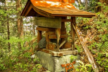
After about 50 minutes you will pass two miniature shrines before reaching Mount Musubi; a small hill top clearing with several benches offering some pleasant views of Otsuki City below.
Towards Otsuki Station
Once you have finished admiring the views, follow the signs for Otsuki Station (大月駅), where the forest trail will soon lead into a small residential area where it is about a 20 minute walk to Otsuki Station via a main road that crosses over a large river.
Outside of rush hour times Otsuki Station is generally fairly quiet, making it relatively easy to find a comfortable seat on your homeward bound train. If it's not too late in the day your half empty train should have already left the platform, well before the large crowds of late afternoon commuters transferring from the packed Fujikyuko Line will make a mad dash for their crowded ride back to the city.


