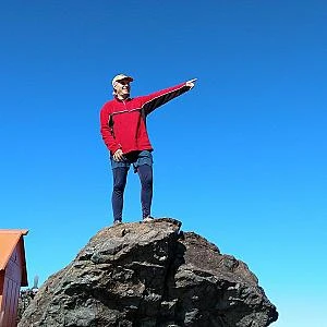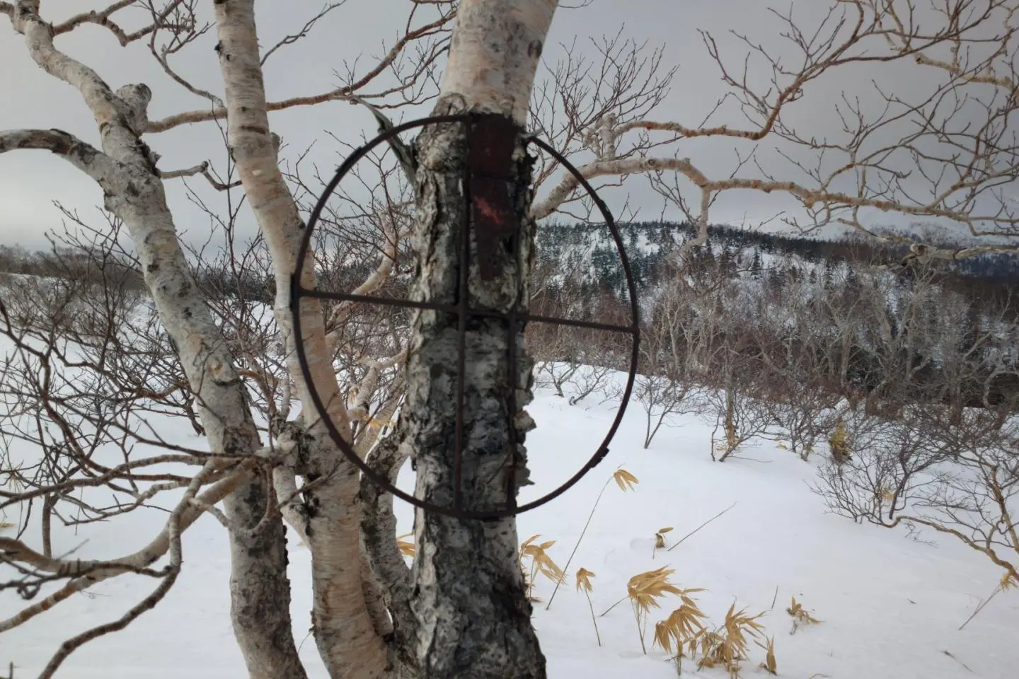
Until this winter, I had never considered winter hiking. I was quite happy going snowboarding, it's a bit easier. But with the advent of COVID-19, I looked at ways to be further away from people on weekends. The trails in winter are much less crowded than in summer and offer much better views without leaves. You have to be prepared for the colder conditions though.
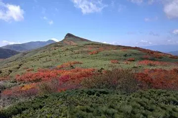
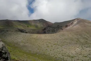
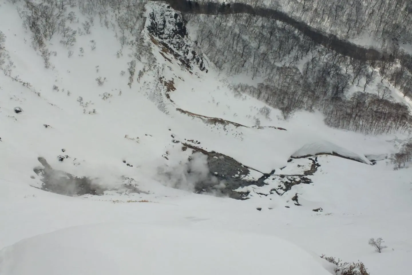
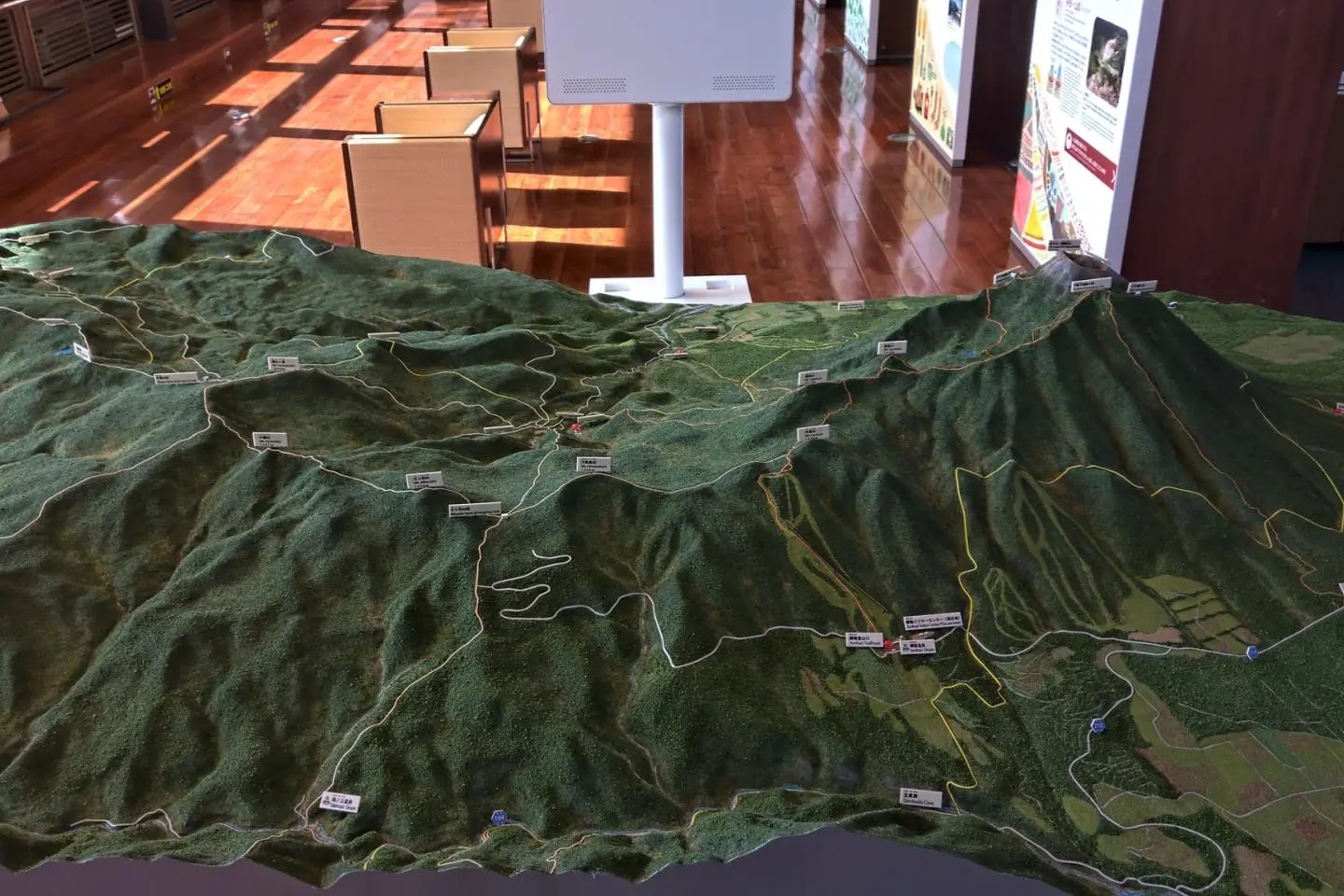
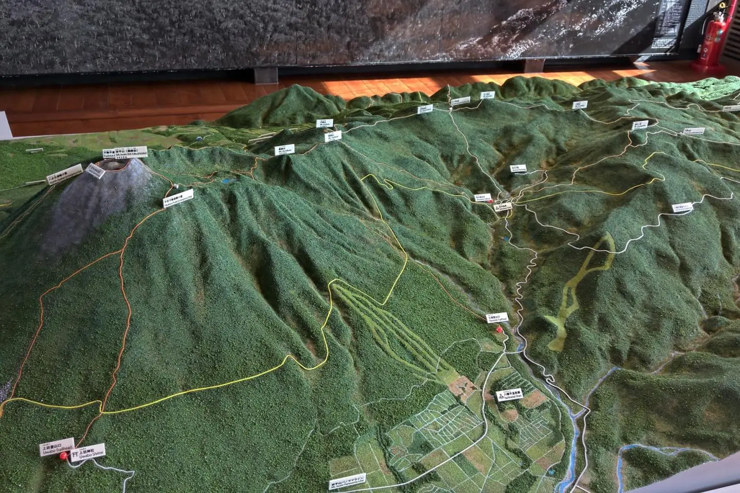
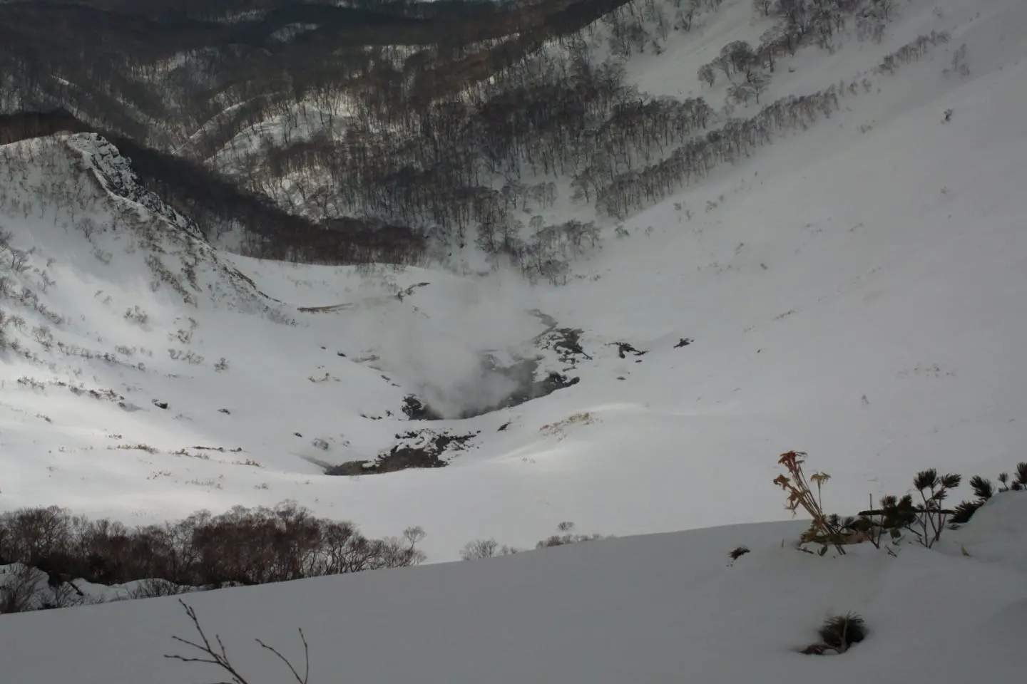
This trail is a 7 kilometer loop over 3 peaks and around a place called Hell Valley. There are several places called Hell Valley around Japan. They all have the same kind of features, strong thermal activities and strong toxic gases coming out of the ground. They are best observed from a safe distance.
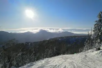
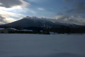
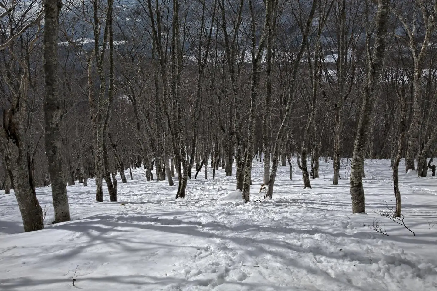
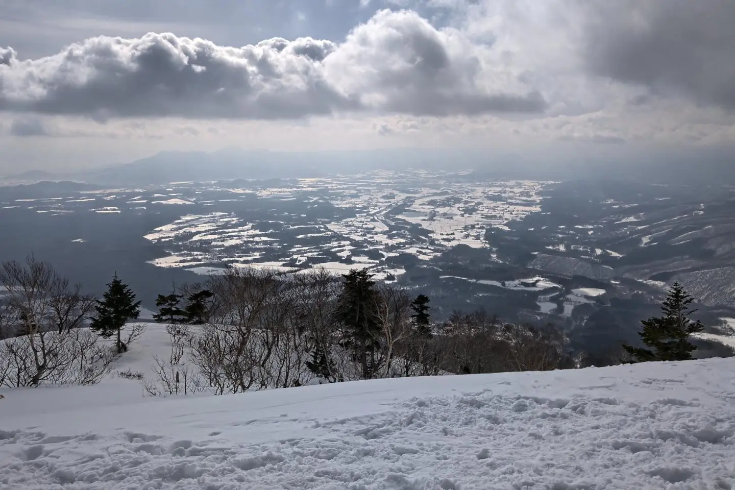
The first segment of the hike is through a forested ridge along Hell Valley, the steepest part of the hike. After about 2 kilometers, you'll get to the first peak called Kamakura Mori, it took me about an hour and half, time may vary depending on snow conditions. On this day, it was above freezing and the snow was packed and heavy. On a clear day, you'd have a very good view of Mt. Iwate. I could see the city of Shizukushi but not Mt. Iwate.
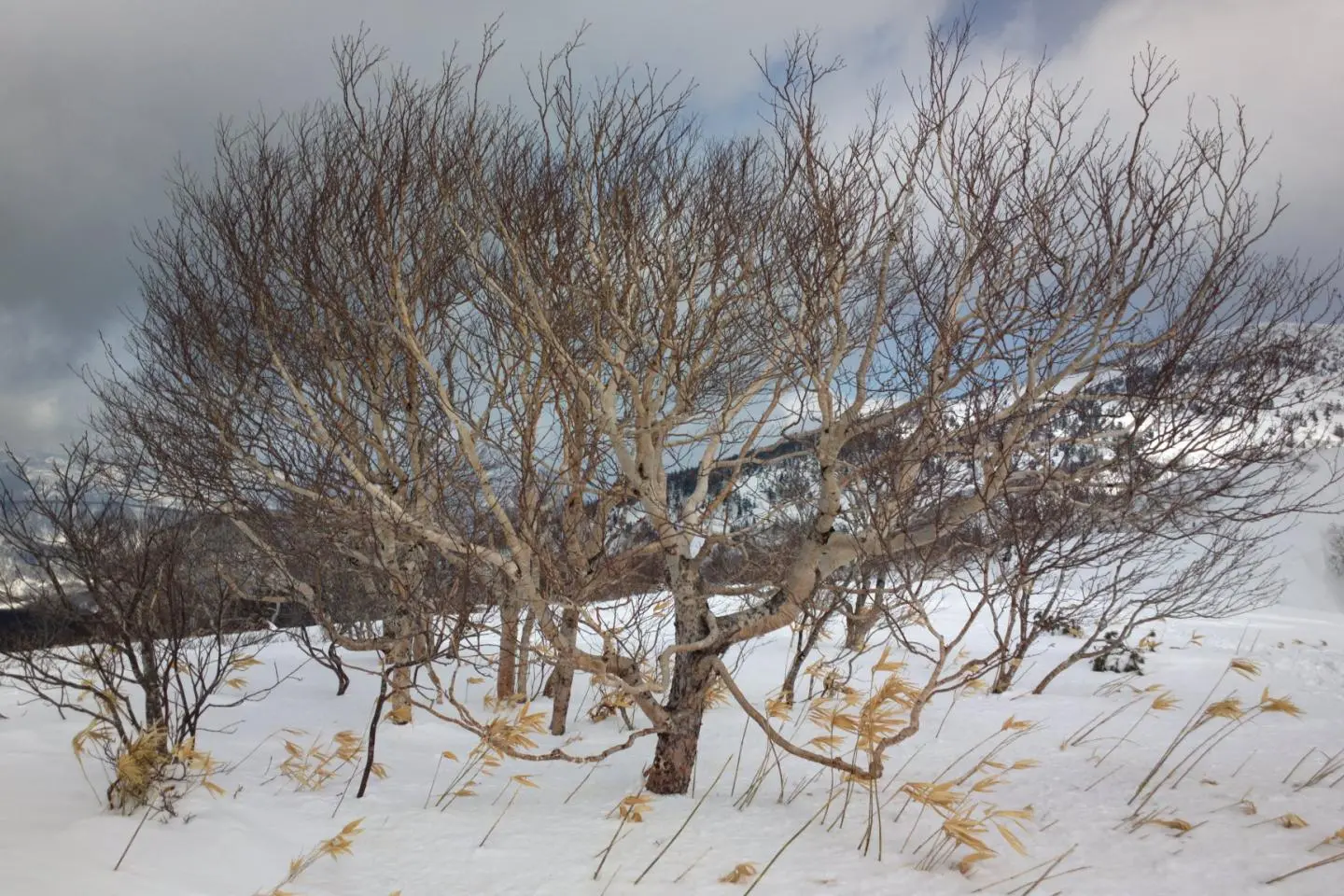
The next part is relatively easy, we go down a valley and up a smaller hill. The first peak is at 1307 meters high, the next one Mt. Inukura, at 1405. At over 1000 meters in altitude, there aren't many trees, it's quite easy to find your way around. On the second peak, we have a very good view of Hell Valley and its hissing steam holes. I was amazed that from the second peak, we could see the town of Shizukuishi and Hachimantai as well. They are on opposite sides of Mt Iwate.
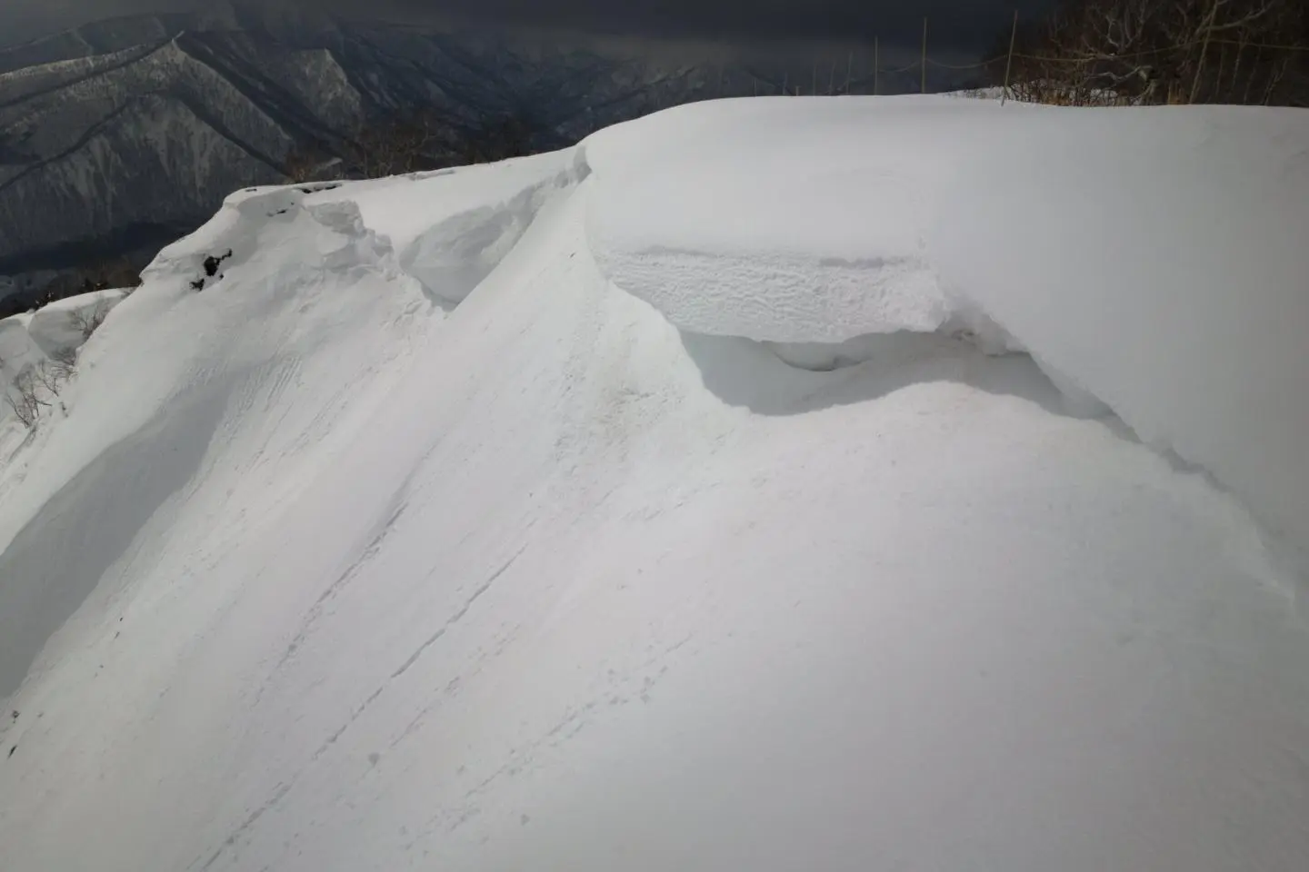
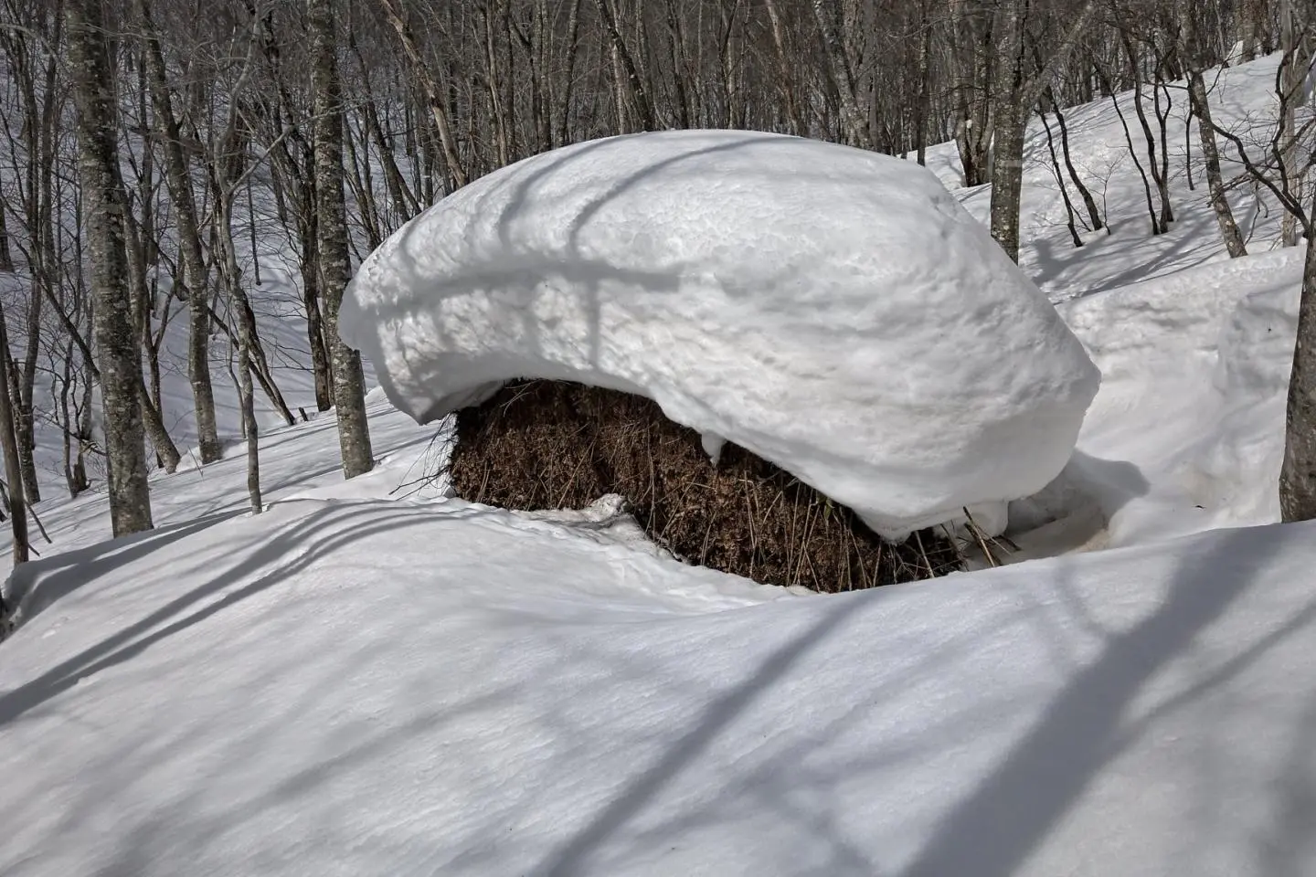
The third peak gave me a closer look at Hell Valley, there is a lookout that is the closest all around. Just near there is a temporary bamboo fence to keep people away from the edge. It's a snow drift that stretches 2 to 3 meters over the edge of the cliff. It's probably not safe to go on it and fall in the boiling cauldron below.
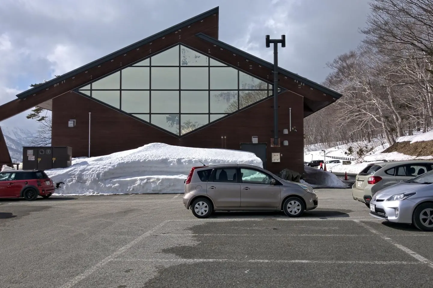
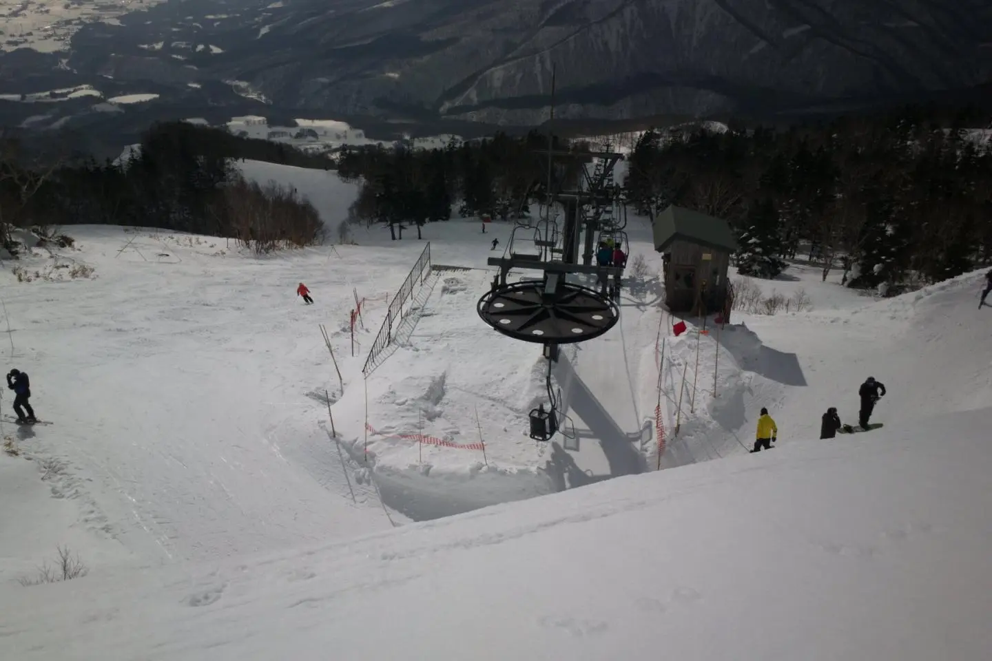
After that it's all downhill, I followed the edge of Amihari ski area back the the visitor center. Amihari ski parking lot is about 500 meter away from the visitor center. There is also a very nice hotel between the ski area and the visitor center with outdoor baths and a great view of Shizukuishi.
The gear, since it's winter, you have to dress warm but use many layers to do that. As you start hiking, you'll start sweating and will have to remove layers. This day was warm, I didn't even use my Goretex jacket, it was too hot. That said, I bring 2 of everything, 2 pairs of gloves or mittens, 2 jackets, I brought a down jacket, 2 tuques and an extra pair of socks. I have a pair of insulated pants from Mount Bell, they are good to - 15 to -20 degrees. Usually at the top, it's much colder so you'll need to dress better hence the many layers
For walking, you'll need snow shoes and poles to help balance and climb easier. If it's windy, you might need googles, if not sunglasses. The sun is much brighter with the snow. When it's colder, I even bring a small burner to heat up some soup or noodles for lunch to help warm up.