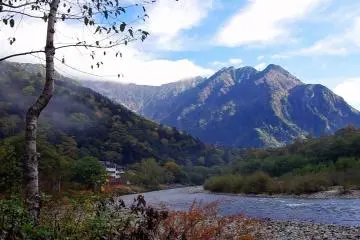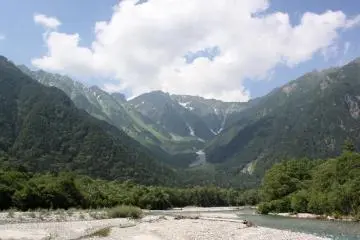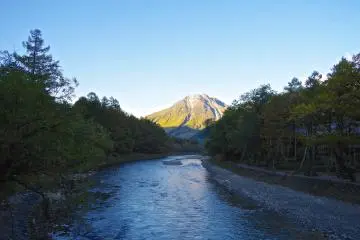
Located between two of Japan’s famous tourist destinations, Matsumoto and Takayama, lies beautiful Kamikochi, one of the country’s most popular locations for hiking. The area is easily accessible by car, bus and train from both cities within 1.5 - 2 hours. Alpico Group also runs direct buses from Tokyo, Kyoto and Osaka.
The park is officially open from April 17th until November 15th every year and offers a wide range of hiking trails with various levels of difficulty. These range from one hour walks along the picturesque Azusa River to multi-day treks into the Hokata mountain range.
If you are not sure which trail to take, the knowledgeable and friendly staff at the information center will be happy to recommend a trail that fits your hiking needs. In case Kamikochi is a stopover for you and you need to store your luggage, you can do so at the back of the building where there are restaurants and souvenir shops.
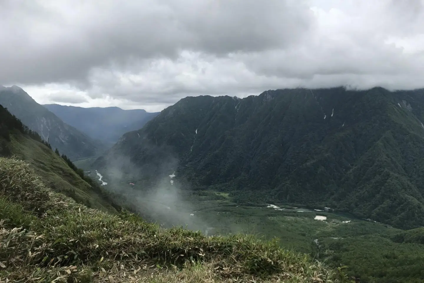
Since I like a good challenge I decided to go for Kamikochi’s only active volcano, Mt. Yakedake. The trail takes you from an altitude of 2,024m to a 2,455m peak and is therefore quite demanding, but also not too hard if you are in somewhat decent physical condition. As this is a 5-6 hour return hike, I recommend taking plenty of water and some food with you.
About half way up the mountain there is a little hut that sells snacks and drinks and lets you borrow some helmets for free to protect your head from falling rocks. When I reached the top it was rather cloudy up there, as expected for an active volcano. However, the views on my way up and down were simply stunning and mesmerizing! So if you are looking for an adventurous day hike around Kamikochi I can certainly recommend Mt. Yakedake.