As you head north out of the city center of Nakatombetsu along highway 275, a great hayfield rises up upon the southwest face of a treeless spur jutting out from the eastern mountains. In the long days of spring, its grasses are some of the first to be seen, great brown and green patches spreading forth from amidst a serpentine mosaic of black and white melting snow. In summer, the dot of a small blue tractor dutifully plods along, cutting tracks in a canvass of burning emerald. And in fall, pasture long unused grows brown and heavy, rippling in the wind like a field of wheat.
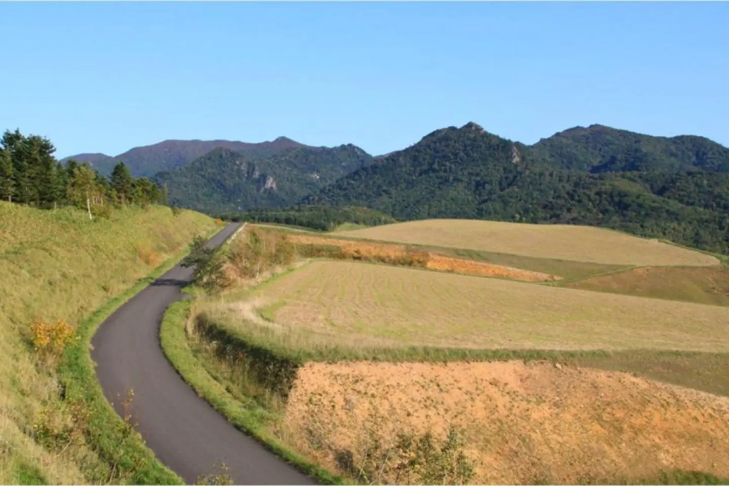
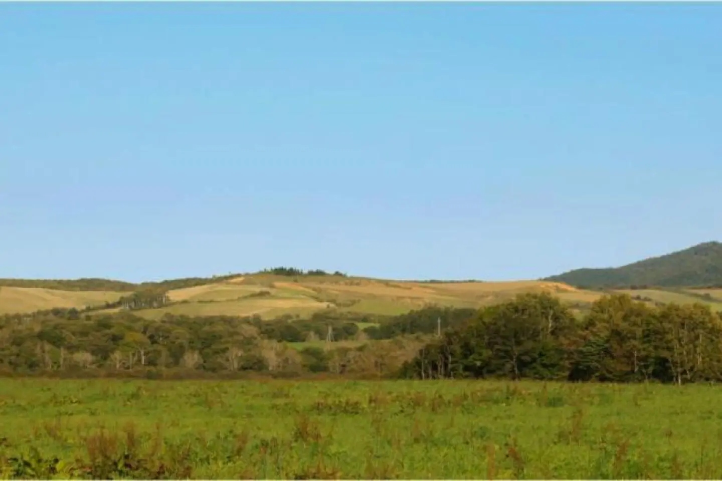
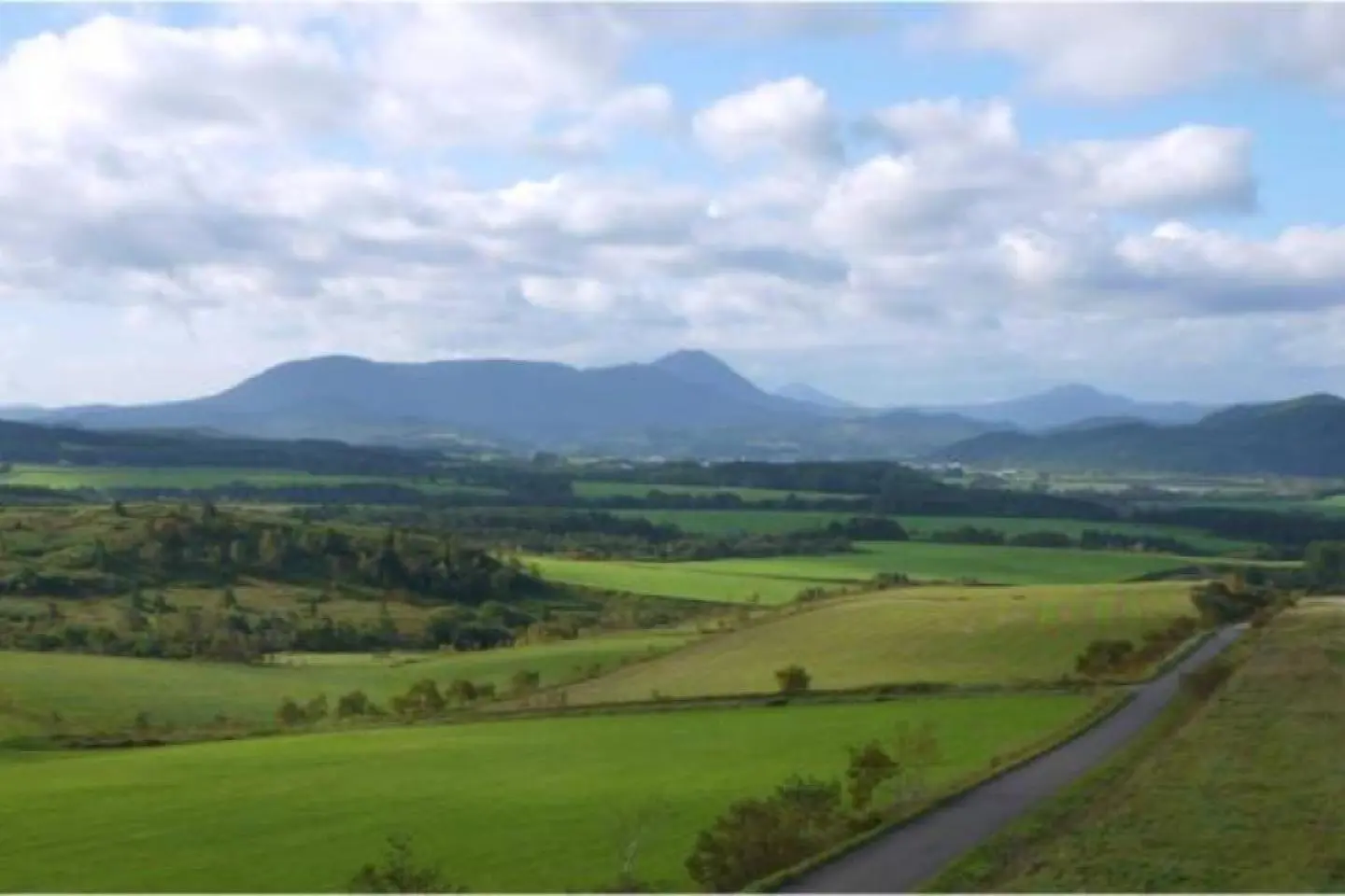
A narrow, single-laned road winds its way up through a series of windswept steppes to an elevation of roughly 180 meters. From there one can behold the entire Tombetsu and Peichan river valleys, remnants of a vast inland sea that once encircled the steep and ancient slopes of the central mountain, Mt. Pinneshiri. To the east, beginning with the rocky spire of Tongari mountain, the eastern mountains rise sharply and continue south in a long unbroken line to the tall, flat summit of Mt. Hakodake. To the southwest, beyond the ski hill, one can see the radio towers on Shirikoma pass, and past that, the pointed spires of Panke and Penke mountain. Meanwhile, stretching all along the undulating terrain of the valley floor below is an interweaving patchwork of hayfields, forests and streams.
The scene is not unlike something you might behold on a mountainside in Bavaria, which is precisely what a traveling group of motorcyclists thought when the fields beckoned them up off the highway some forgotten number of years ago. They christened the place, Heidi Hill, a name now known and used by all who live in Nakatombetsu. Yet, for all its fame and beauty, there is no sign, not one indication telling travelers how to reach it. But thanks to digital mapping, and the internet, there's no reason why you should miss, arguably, one of the best view points in Hokkaido.
After crossing the bridge at Kotobuki park, going north on 275, and passing the ski hill, be on the lookout for a giant yellow sign (warning that there is a tunnel ahead). There is a road on the east hand side that crosses over the Tombetsu river. For those coming from the north, the road is the first on the left after you exiting the tunnel (there is only one tunnel on all of highway 275).
Turn at this road and continue for about 100 meters. There will be a small bridge crossing a stream towards a farm house on your left. Turn here, crossing the stream and follow the road as it bends back around to the east. After 50 meters or so the road will 'Y.' Bear left and continue straight on, passing one more farm house on your left and going under some high voltage power lines as you start ascending the base of the hill.
Follow the road as it winds up to the summit, and continue slightly beyond where it crests. On the right hand side there will be a small access driveway down into one of the fields. Park your car on this driveway, off of the road, but be sure to keep out of the field.
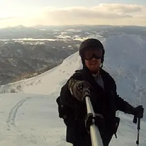
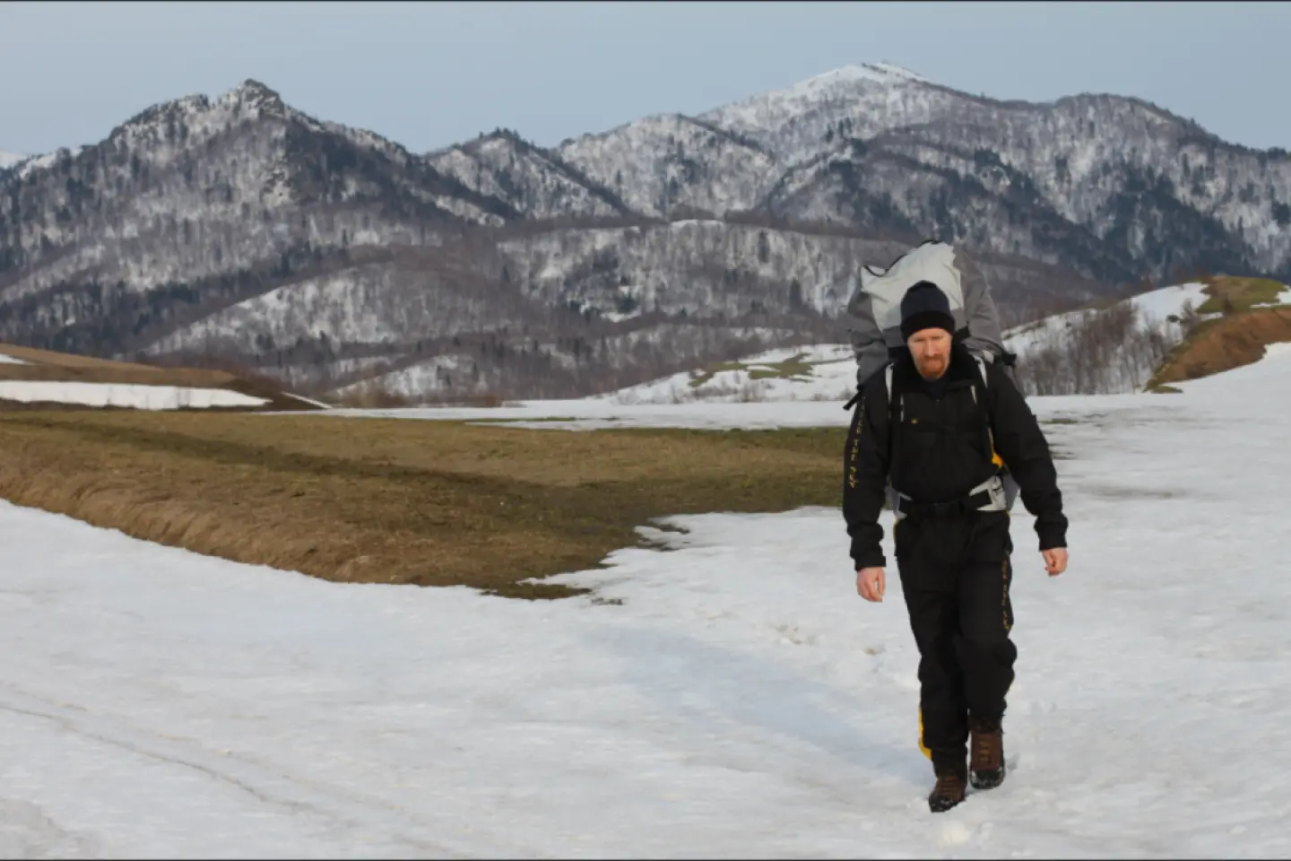
In the day, if you take a quiet walk along the road in either direction from here, it's not unlikely to encounter fox or elk (Ezo shika) hunting and grazing in the fields, or hawks playing in the strong breeze overhead. And on a clear night, the absence of street lights, and light pollution from town, make it an ideal location for star gazing. If you happen to be passing though the northern area of Hokkaido, consider making a stop at Heidi Hill. Bring a friend. Bring a picnic. But above all, don't forget your camera.