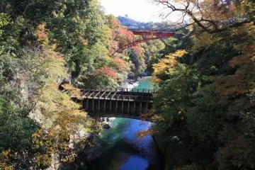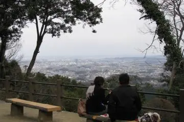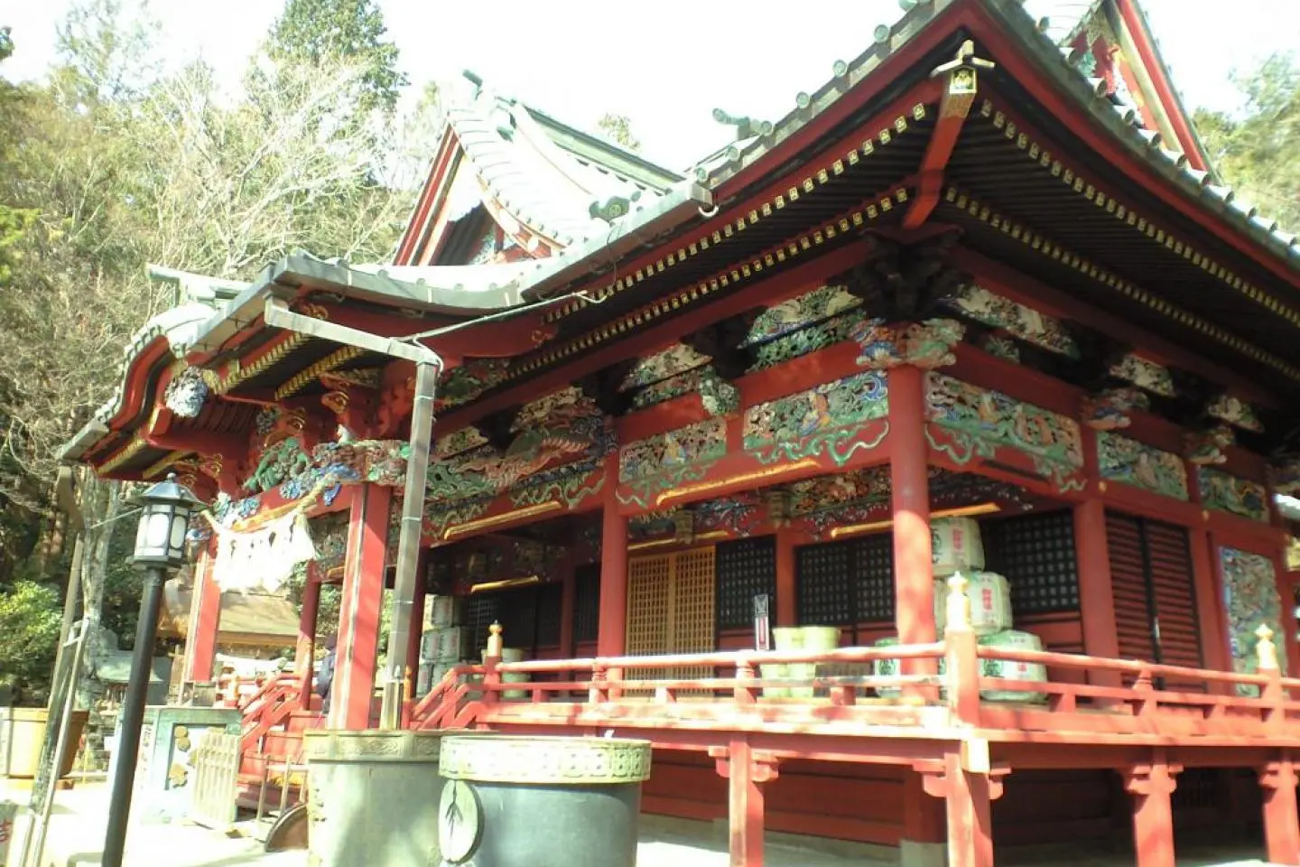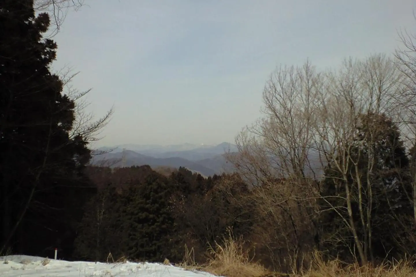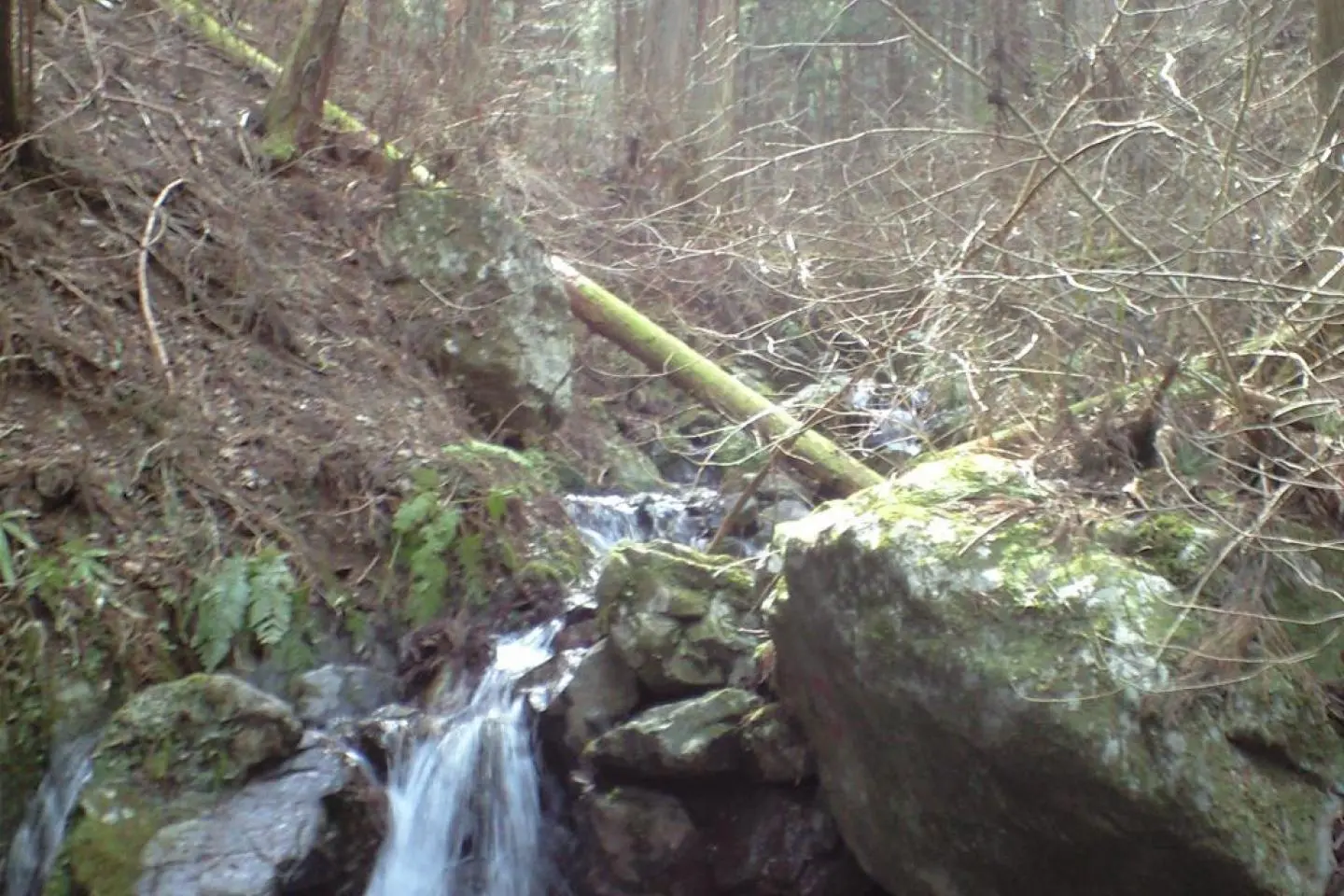
Great nature and gorgeous architectural heritage come together in this excellent hike through the mountains. You can start at the Takao San World Heritage Site, a complex of temples and shrines on top of Mt. Takao, and then follow the trail beyond into the wilderness. I won't lie to you, Takoa San though beautiful, can also be incredibly crowded on the weekends. However, take the path going west and you will not only be following the Kanto Fureai no Michi, but you will also be following the old Tokaido (eastern rode) which used to connect old Edo (Tokyo a long time ago) and Kyoto, until the two trails diverge. There are great views of Mt. Fuji and the crowds will melt away the further away from Takao San you get. After the trails diverge, you will blithely be enjoying beautiful mountain forests by yourself. The path goes up and over several mountain tops and ridges until you come to Mt. Jimba. Mt. Jimba has great views of Mt. Fuji in the spring with beautiful cherry trees in blossom and with pin oaks turning fabulous red and orange in the fall. It is a really nice place to stop and relax a while before heading down the mountain to the bus station.
The Bird trail is part of a regional network of trails collectively known as the Kanto Fureai no Michi . The trail extends across the prefectures of Tokyo , Saitama, Kanagawa, Chiba, etc. It is divided into about 144 segments that can be taken one or two a day. This path is the second to the southern most path in Tokyo and is one of the most accessible because its starting point (or ending point depending on which way you are going) is the famous and easily accessible Takao San, a world heritage site all on its own.
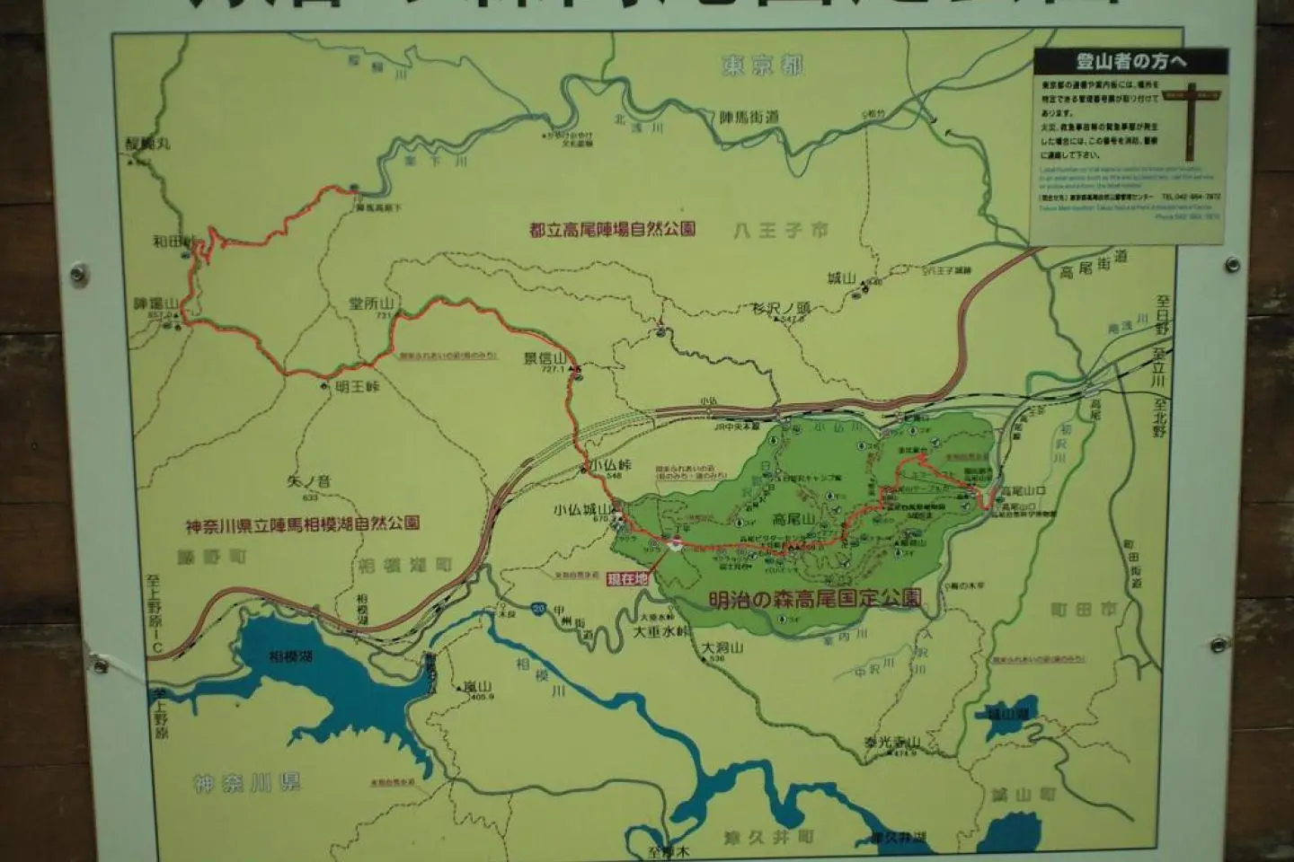
It is highly recommended that the traveler gets a map from the information center just to the left of the entrance to Takoa San Guchi station. Please ask for the "toe-lee no meechee no chee-zu" from the nice older gentlemen with limited English ability. They will be able to help you out. The map is entirely in Japanese, but the geography is easy to follow. You will be happy to have it, if nothing more than for reassurance.