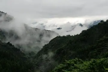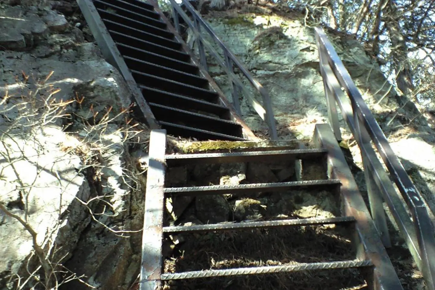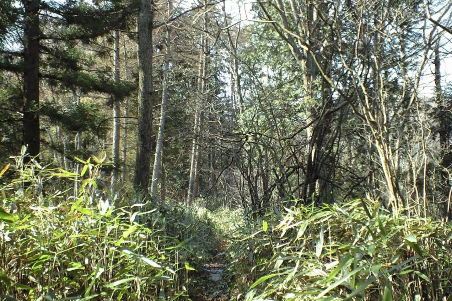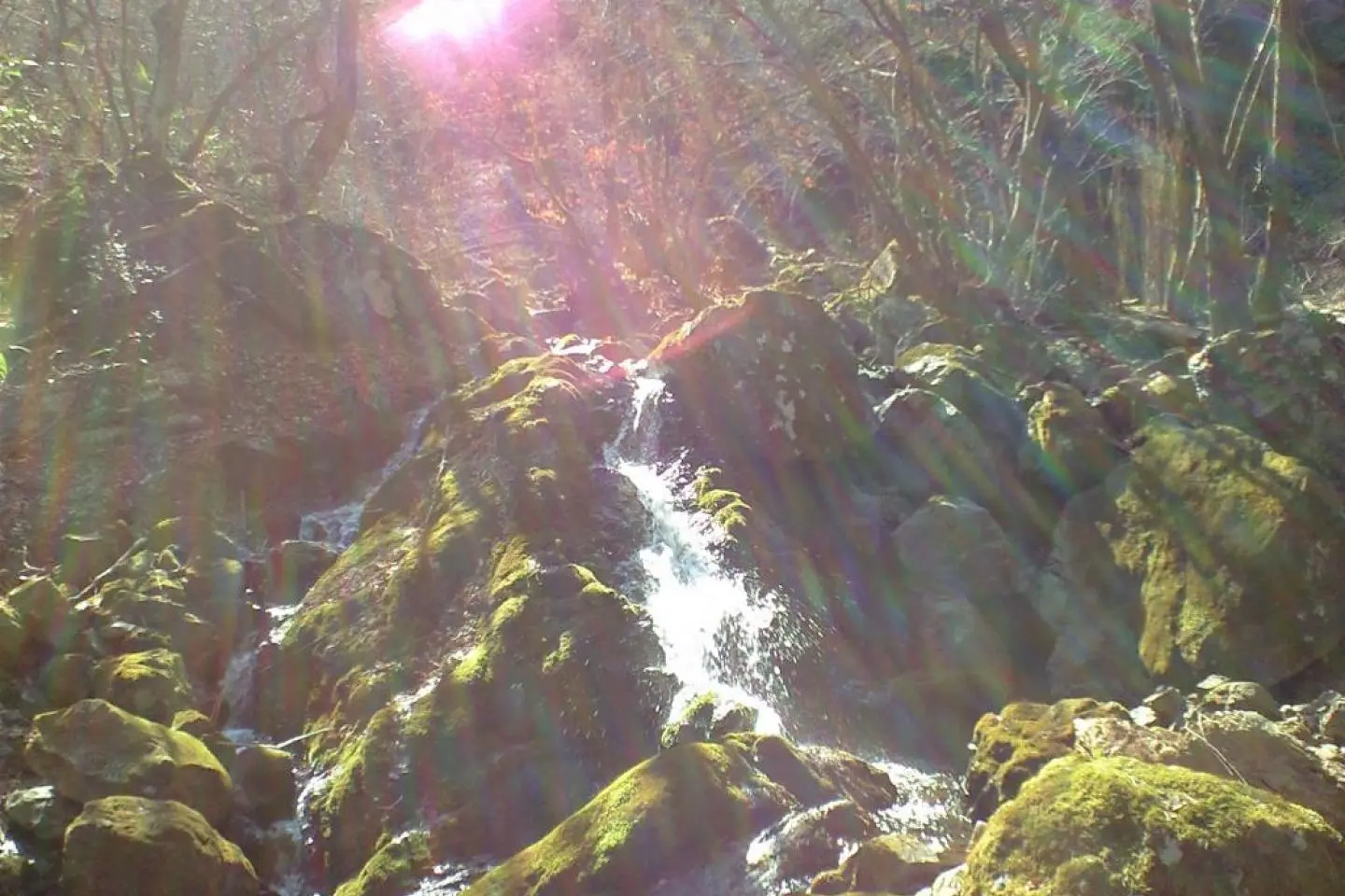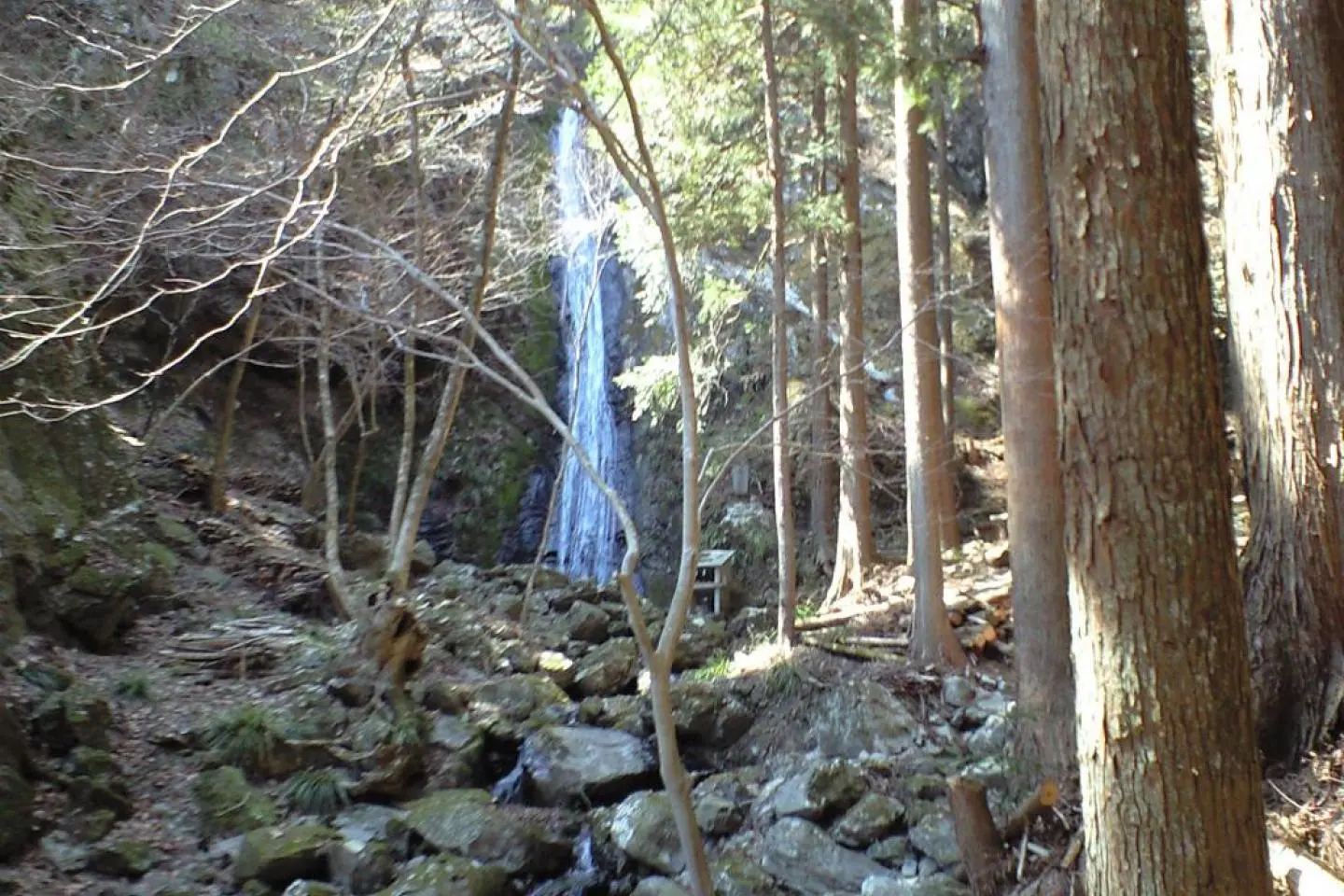
The Waterfall and Stalactite Cave Trail name pretty much says it all. Starting in Hinohara village there are several side trails up a ways from the bus stop to keep the traveler busy for most of the day. The trail itself follows a large mountain stream that cascades down the mountain in two beautiful waterfalls. Past the second waterfall the trail climbs a really steep mountain side all the way to the connecting ridges on top. From there the traveler has some great views of the surrounding mountains and forest as well as an interesting time climbing up the tops of some of the mountain tops.This section is not for the squeamish or unsure of foot! But is highly enjoyable to those that like a good challenge.
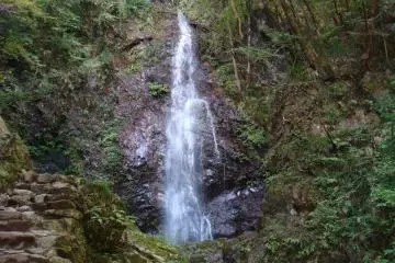
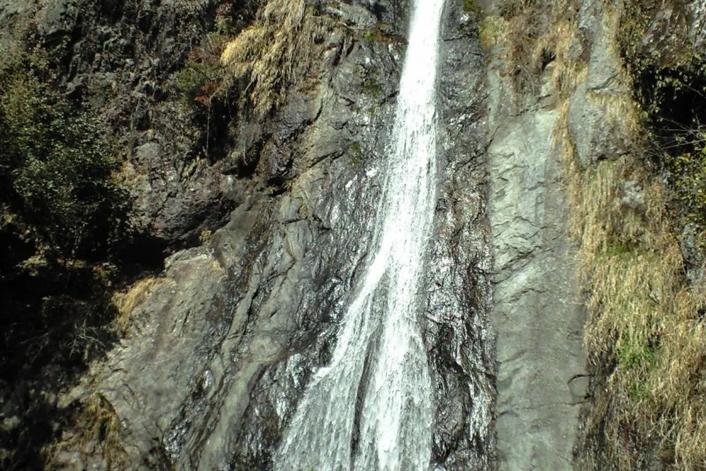
Once the traveler has crossed over the ridge and is walking down the backside of the mountain they will come across another picturesque mountain stream with a couple of small, but photogenic waterfalls. The rest of the trail kind of winds its way down next to this stream. When it becomes a roadway (after the mining operation so look out for very large trucks!) eventually it leads to a place close to a camping area where, for a fee, the traveler can go into and walk around Otake cave which extends back into the mountains more than three hundred meters.
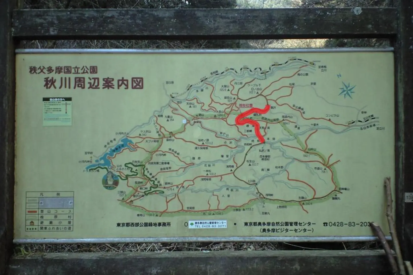
The Waterfalls and Stalactite Cave trail is part of a regional network of trails collectively known as the Kanto Fureai no Michi (pronounced like Kantoe foo-leh-ai no meechee), which covers the provinces of Tokyo metropolis, Saitama, Kanagawa, Chiba, etc. It is divided into 144 segments that can be taken one or two a day. This is the fifth of seven coming from the south. It is accessible by buses coming from Musashi Itsukaichi station, from which the traveler can reach Shinjuku station in Tokyo easily.
It is highly advisable for the traveler to get a trail map from the information center just outside of Mitake station. It has all the maps for the Tokyo area Kanto Fureai no Michi. The person at the information center is very friendly and will provide the traveler with a lot more information than they really need if its a slow day.