Overview
Arriving in Machida City, visitors find themselves in a modern city but a short trip further west and Machida reveals a swathe of green space. There are plenty of historical spots and landmarks too, all connected with the area's deep heritage. Here are a few of the landmarks of Machida City and how to reach them.
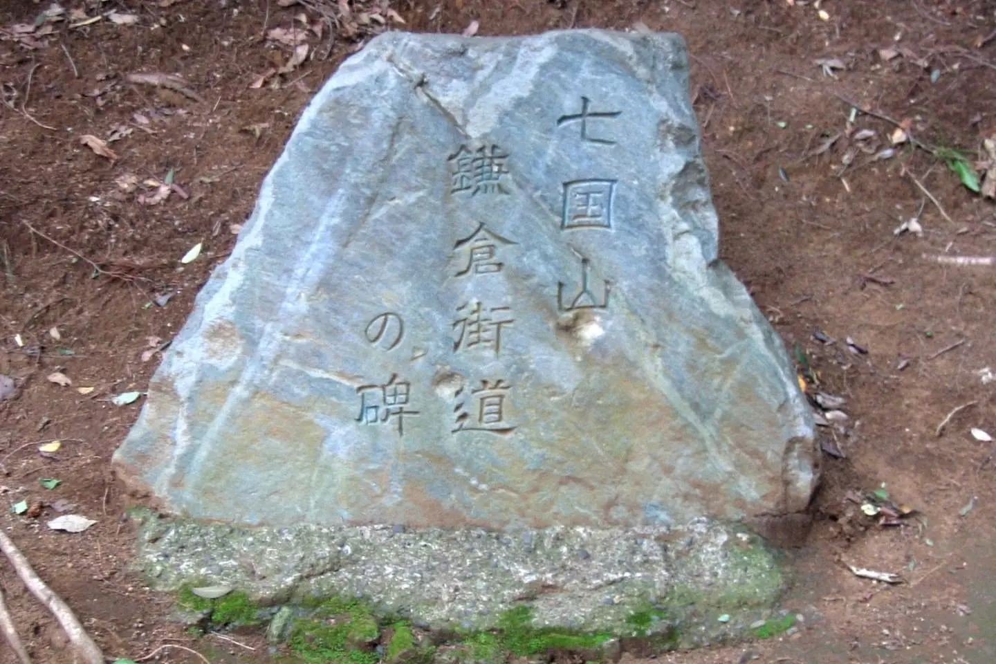
Nanakuni-yama
A small hill with historical importance, Nanakuni-yama features a small plaque commemorating the old Kamakura Kaido highway. A well, too, can be found here, said to have been dug by the head of the Nitta clan, Yoshisada, to water his army's horses in 1333 when he was on his way to besiege - and successfully retake - the old capital of Kamakura.
A 22-minute no.2 bus ride from Kobuchi Station on the JR Yokohama Line.
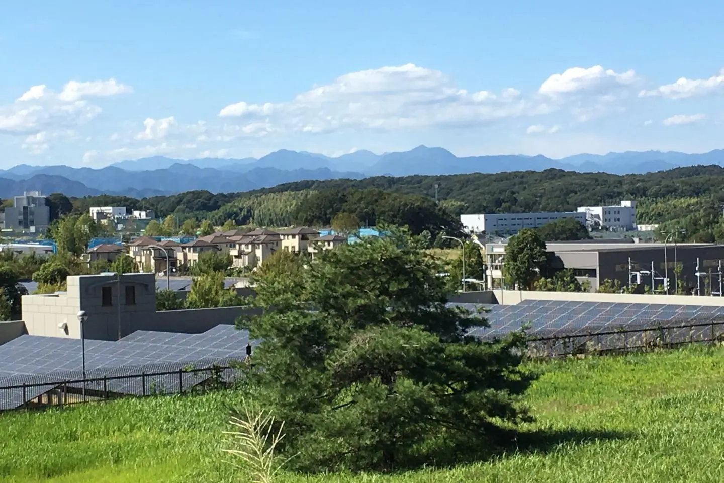
Nishi-tenbo Observation Square
Located in the Oyamadairi Park, the Nishi-tenbo Observation Square sits at the summit of the park's main hill. Overlooking the nearby Sagamihara area of Kanagawa Prefecture, the views are impressive and the walk up the hill during the cherry blossom season is a nice one. On a good day, Mt. Fuji is also visible.
A 10-minute walk from Tamasakai Station on the Keio Sagamihara Line.
Silk Road Monument
Acting as a market for goods traveling between Hachioji and the port of Yokohama, Machida was then known as Hara-machida and played an important role in Japan's silk trade history. The Silk Road Monument was unveiled in 1983 to commemorate that history and features a solid marker bearing the names Hara-machida, Yokohama, and Hachioji.
A 1-minute walk from the South Exit of Machida Station on the Odakyu Odawara Line.
Tsurumi River
Beginning in Machida, the Tsurumi River flows some 40km south-east before eventually emptying out into Tokyo Bay. Once a key irrigation channel for adjacent farms, the Machida stretch is often the location for the colourful koi carp streamers on display during the May 5th Kodomo no Hi Children's Day celebration.
A 23-minute no.33 bus ride from Tsurukawa Station on the Odakyu Odawara Line.